
Rome Neighbors Begin With Parcel Geography
Public records can describe the ground around a Rome address without identifying a social circle. A Rome parcel viewer supplies a target PIN and the lots around it. The assessment and tax-roll sources add roll owner, mailing address, property characteristics, class, school district, acreage or lot size, assessment, and sometimes deed-book/page fields. A recorded deed can then confirm a conveyance. Rome ward maps, public agendas, code files, historical directories, and newspapers each answer different block questions.
| Rome source | What it can show about a block | Access and limit |
|---|---|---|
| Oneida County parcel viewer | Target and surrounding parcels, PIN, displayed owner/address, value, acreage, and map overlays | Public map starting point, not a legal survey or a household roster |
| Rome Image Mate and annual tax rolls | Roll owner, mailing address, lot or building fields, tax class, school district, assessment, and roll year | Public record snapshots; a mailing address does not establish occupancy |
| Oneida County Clerk deed index | Recorded grantors, grantees, dates, book/page, and instruments tied to a party | SearchIQS is name keyed; the deed controls ownership rather than a map label |
| Common Council and Code Enforcement | Ward geography, public projects, agendas, permits, inspections, or code matters | Public civic context, not a resident directory |
| Directories, newspapers, and maps | Dated historical address, neighborhood, and building context | Use as a historical layer and preserve the source date |
Rome neighbors are therefore best described by source labels: adjacent parcel, record owner, mailing address, directory-listed person, public applicant, or historic business. None of those labels alone establishes who currently occupies a property or who knows the people nearby.
Rome Neighbors Share Parcel Boundaries
Use the Oneida County interactive mapping page to begin at the target Rome address, then identify the target PIN and each parcel that actually shares a boundary. A parcel across a street in Rome, behind an alley, or on the other side of a stream may be close on screen but is not necessarily adjoining. Check more than one map scale. A road, railroad, water body, public right-of-way, or narrow strip can break an apparent lot line.
The County parcel-layer service exposes the technical fields behind the mapping layer, including PIN, print key, owner components, and SWIS geography. Its presence does not show that every technical field is an option in the public-facing viewer.
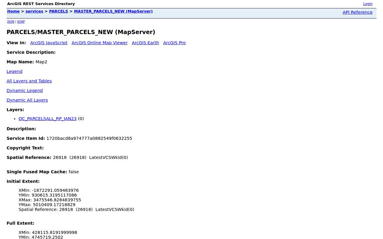
Save the visible parcel label, layer name, map date, and scale with the target PIN. When the map and a roll disagree, ask the assessor or Planning office which record needs correction rather than selecting the version that seems most convenient.
- Target Rome address to PIN in GIS.
- PIN to each shared-boundary parcel at a usable map scale.
- Parcel to the matching tax-roll year and Image Mate record.
- Roll owner to a date-bounded SearchIQS grantor/grantee check.
- Parcel and ward to the public project, code, or historical source needed for the question.
For a full named-street record chain rather than one immediate block, use the Rome street directory. The two methods meet at a parcel but have different scopes.
Rome Neighbor Labels Require Separation
Comparison is where many false conclusions begin. The Rome Image Mate portal and the county tax-roll archive should be read together by PIN and roll year. Their fields can point to an owner or a mailing address. A Rome deed shows a recorded transaction. A permit may identify an applicant for a particular improvement. A Rome historical directory may connect a person or business to an address on a printed date. None turns the other record into a present household list.
| Official property records | Generic commercial neighbor tools | Practical rule |
|---|---|---|
| Identify the custodian, roll year, parcel, document type, and date. | May combine older data, name matches, or address fragments with unclear update dates. | Use official records to verify a defined parcel or instrument. |
| Separate roll owner, mailing address, deed party, and permit applicant. | May present one broad label for a person near an address. | Keep the original source label in every note. |
| Allow a map, roll, and deed to disagree until the custodian resolves it. | Can obscure the source or date behind a result. | Do not merge records into a current-neighbor claim. |
For a reproducible comparison, make one row for each target or adjacent parcel. Include PIN, situs, roll year, printed owner, mailing address, class, acreage or lot size, assessment, school district, deed reference, GIS notes, and the next record to check. A corner can include public land, a utility parcel, or a tax-exempt property, so proximity does not make it a private household.
Note: A roll and a deed answer different questions, and both should retain their original dates when a Rome block changes over time.
Rome Wards and Code Files Explain a Block
The Rome Common Council page supplies seven ward maps, public meetings, agendas, and civic contacts. A Rome ward can help route a question about a street, drainage, project, or public issue. The civic boundary may differ from postal, school-district, tax-district, or parcel geography, so record which boundary a source actually shows.
Agendas and minutes can provide public project context around a Rome block. They are not a resident roster, and a person named in a meeting belongs in notes only when the public filing is directly relevant to the record question.
The Rome Code Enforcement page describes permits, inspections, and zoning enforcement. The research found no official online Rome permit index. Ask for a narrow address- or PIN-based file with a date range through Code Enforcement or City FOIL, rather than assuming a public property screen contains the permit history.
A permit can identify an owner, contractor, architect, or applicant associated with one project. Its value is a dated property-change clue, not a conclusion about the people who live nearby.
Rome Community Groups Are Contact Context
No official citywide directory of Rome neighborhood associations or HOA members was located. City public materials mention the Rome Art Association, Rome Waterways and Trails Advocacy Group, and Mohawk Valley Latino Association in event or civic contexts. Those references show public community activity. They do not establish that a nearby household belongs to a group, and they do not supply a membership roster.
| Publicly mentioned Rome group | Useful public context | Appropriate next step |
|---|---|---|
| Rome Art Association | Event or civic participation reference | Use the group’s own public contact or event information, not a private list. |
| Rome Waterways and Trails Advocacy Group | Public projects and waterways or trail context | Look for a published meeting, project, or contact route. |
| Mohawk Valley Latino Association | Public community resource or event context | Use the cited public reference to locate an open contact channel. |
For a legitimate group question, ask the relevant organization or City office for public meeting and contact information. A public-facing representative is not the same thing as a membership list. The absence of an official association directory is itself an important Rome research finding, not a gap to fill from unrelated records.
Rome Neighbors in Historic Block Sources
For family or neighborhood history, shift from current parcel labels to dated sources. The New York State Library Oneida newspaper guide lists Rome Daily Sentinel and Roman Citizen/Citizen runs with gaps and microfilm details. The Jervis Public Library local-history page points to maps, cemetery material, yearbooks, People in Rome resources, and Sanborn material. Newspapers and directories can test a street spelling, move, public event, or address association when the exact issue and year are retained.
Historic material needs the same labels as modern sources. A 1909 Rome Sanborn sheet can explain a building footprint or use. A Rome historical directory can show a printed address. A newspaper can report an event. The Rome Historical Society can help interpret local collections. None should be used to infer a current neighbor, and a missing newspaper issue is not proof that an event did not happen.
Rome Neighbor Research Excludes Other Systems
Several official New York systems can appear in broad web results, but they are not sources for identifying Rome neighbors. The Oneida County Sheriff inmate-list landing page concerns current county custody, not adjacency, residence, or a block relationship. No roster names belong in a neighbor record.
Current custody status is time sensitive and answers a different public-agency question. It cannot be combined with a parcel map to identify a household.
The New York DOCCS lookup landing page is likewise a separate state-custody system. It is not a Rome block map and does not establish an address association.
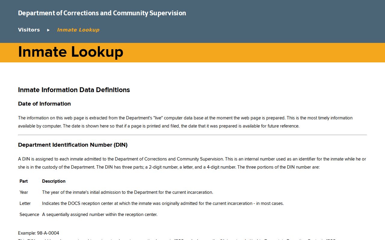
Keep state-custody material separate from parcel and civic research. A person’s name in a state lookup is not a finding about a Rome neighbor.
The New York public registry search has its own limited, CAPTCHA-protected search process. It must not be treated as a list of people near an address, and no registry result should be copied into a neighborhood roster.
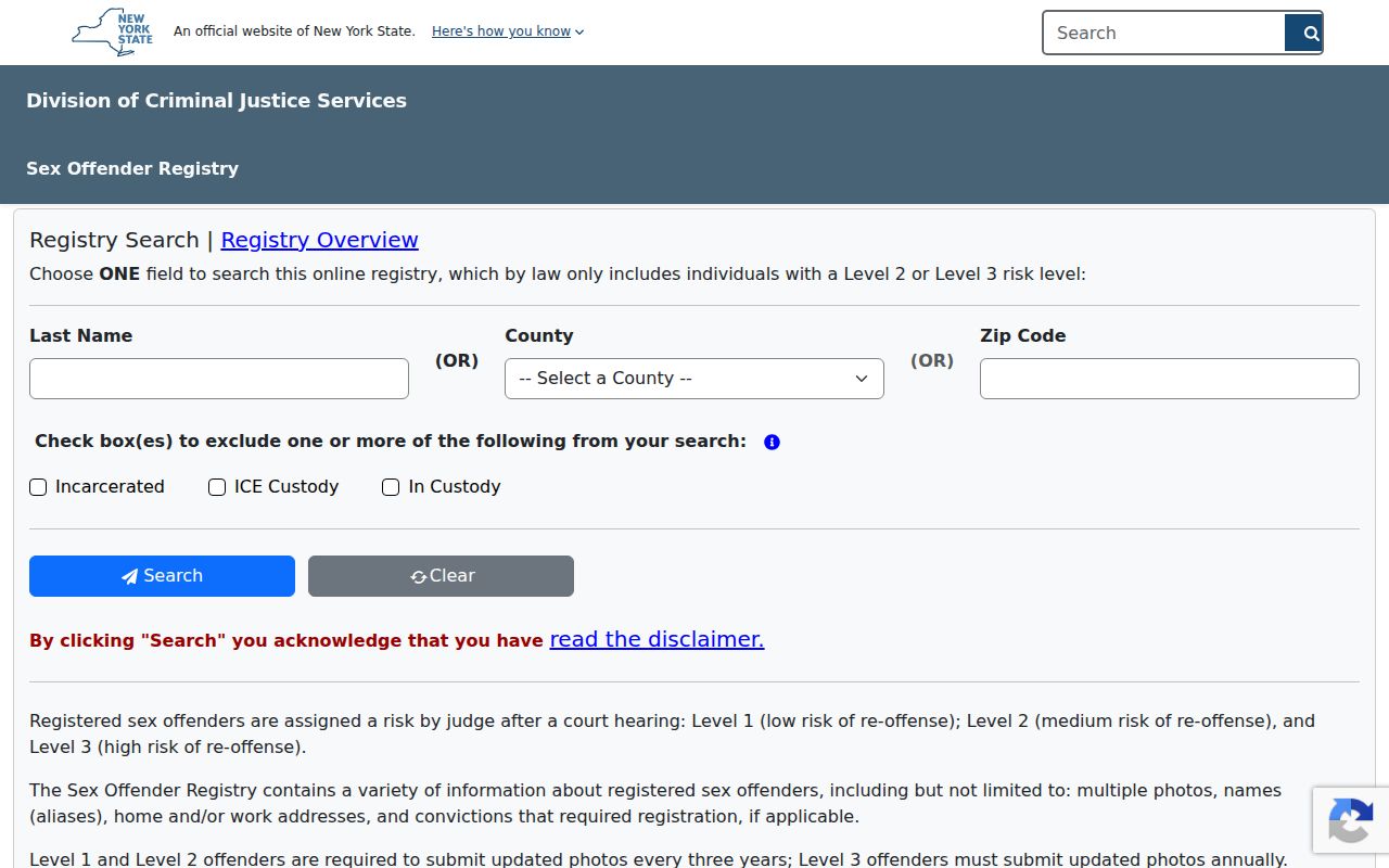
The relevant public agency should handle any immediate safety matter. Parcel, ward, and historical sources remain the proper evidence for a geographic or civic question about a Rome block.
Rome Neighbor Research Has Privacy Stops
A map, mailing address, group mention, or record match cannot be used to reverse-engineer a household. The New York Address Confidentiality Program and confidential voter registration protect qualifying people. New York voter lookup is a registration and poll-site tool, not a general resident directory, and individual voter files have separate legal request rules.
Lawful use. Use Rome neighbor research for civic transparency, block history, family history, or personal property questions. Do not use public records to watch, harass, intimidate, or harm anyone.
For a boundary, drainage, zoning, or public-infrastructure issue, keep the question tied to the parcel and the appropriate City office. For historical work, cite a dated source rather than a present-day match. That restraint keeps the neighbor concept geographic and contextual.