
Rome Street Directory: Address Trail
A Rome address has at least three identities: the street form printed on a document, the parcel or PIN used for assessment, and the person or organization associated with it on a particular date. Keeping those identities separate avoids a common error. An owner on a tax roll, a mailing address, a recorded deed party, and a historic directory entry can all point to the same place without proving the same thing. The street directory process begins with public geography, then follows property records and only later tests a historical association.
- Write the address exactly as supplied, including apartment or suite information. Preserve any older printed form separately from a current postal form.
- Use Rome's official property-information route to reach Image Mate. Compare the situs address, property inventory, and owner or mailing fields for the applicable roll.
- Open the Oneida County annual tax roll for the same parcel. Its fixed roll-year entry supplies a checkpoint that can be compared with adjacent years.
- Locate the parcel in the county map, note its PIN or print key, and check the map position before treating an abbreviated street form as a match.
- Use the owner or prior deed party, not the street name, in SearchIQS. Enter the surname last-name-first, then narrow by date and document group.
- For an older address association, compare a dated directory, newspaper, or map sheet with the deed description. Mark any number conversion as unverified until a source supports it.
This order is deliberately cautious. It can document property, parcel geography, and a dated record association. It does not turn an address search into a current household roster.
Rome Address Fields in Image Mate
The City of Rome's public Image Mate system is the address-facing property layer for a street directory search. The City says it provides assessment, ownership, mailing address, lot size, building square footage, and property inventory. Start with the address as the assessor would recognize it, then save the parcel identifier exactly as returned. The research could not render the current live form, so the order of controls and any required syntax should be confirmed in the portal or with the assessor rather than guessed.
| Image Mate label | Role | Format or caution |
|---|---|---|
| Owner name | Optional search input | Name syntax was not documented in the rendered research. |
| Property or situs address | Optional search input | Use street number and name; live syntax remains unverified. |
| Parcel ID or tax-map number | Optional search input | Retain punctuation and leading zeros from the county key. |
| Municipality | Context or selector | Rome city context; the current selector was not exposed. |
| Assessed value | Result field | An assessment field, not a search input. |
| Lot size or acreage | Result field | Compare it with county GIS, especially on an irregular parcel. |
| Building square footage or inventory | Result field | Useful building context, not evidence of who occupies the address. |
For a question about roll currency, an exemption, or a correction, the City assessor is the appropriate follow-up. A portal display is useful research evidence, but the relevant annual roll and the assessor's office remain the way to resolve a disputed property record.
Rome Street Tax Roll Snapshots
Oneida County's archive provides 2024, 2025, and 2026 Rome rolls as annual snapshots. The printed parcel pattern includes the tax-map PIN, property or situs address, current owner, owner mailing address, school district, tax class, land and total assessment, size, and deed book or page where printed. This is a strong way to compare a stable parcel across roll years. It is not a day-by-day ownership register, and a change can reflect a correction, estate work, parcel adjustment, or mailing update as well as a transfer.
The Oneida County tax-roll archive supplies the annual PDF series for Rome address comparison.

Record the roll year beside every owner or address field. If the roll and an assessor result differ, preserve both dates and ask the City assessor which roll controls the question.
Rome Street GIS Overlays
Before using a name in a deed index, put the address on the Oneida County interactive mapping viewer. Its parcel information can show owner, address, assessed value, and acreage, while its overlays include school districts, floodplains, sanitary sewers, wetlands, soils, and contours. Those layers are especially helpful when a street crosses several service or physical areas. They also help distinguish a parcel that shares a boundary from one merely across a road or right-of-way.
The GIS result is a geographic observation, not a legal description. Note the PIN, map layer, visible owner field, and date of access. The tax roll may use a different print-key format, so keep both forms rather than forcing one into the other.
The county mapping portal is the source for the accompanying map image.
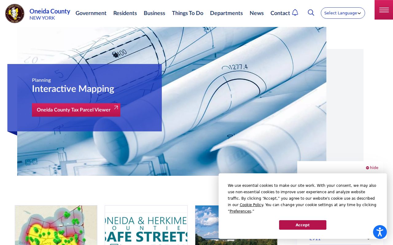
When a mapped boundary, tax roll, and deed do not agree, the public map should prompt a question for Planning or the assessor, not a conclusion about the parcel line.
Rome Deeds by Parcel and Party
SearchIQS is essential after a street directory search identifies an owner or prior party, but it is not a street index. Oneida County's recorded-records search is party- and instrument-keyed. Enter a surname last name first, without punctuation. A wildcard, initials, and both deed parties can help with a variant name. Date From and Thru, Document Group, Town, Book/Page, Instrument Number, and Case Number are additional ways to narrow a result, although the County warns that town is not indexed for every document.
Deeds have index or data coverage from 1963 to 1974 and normally have both index and images from 1974 forward. An older data-only result is still a lead, not an absent deed. The County Clerk's public computers and archival books are free to search in person. The mailed records-search route is a fallback for a narrow time period and costs $5 for each two years searched after payment.
The Oneida County deed-recording guidance documents the local recording chain shown in the accompanying image.
For a Rome conveyance, the deed is first stamped by the City assessor before delivery to the County Clerk. Read the legal description and record date with the parcel record; neither should be reduced to a street-name search alone.
Rome Address Permits and FOIL
Property inventory does not replace a permit history. Rome Code Enforcement may hold records about additions, conversions, pools, decks, demolition, fire repair, and similar work. No official online city permit index was located in the research. For a dated, address-specific question, contact Rome Code Enforcement; if the City maintains an existing record but does not post it, use the Rome City FOIL route.
A narrow request should give the street address, parcel when known, record type, and date range. A permit can name an owner, contractor, architect, or applicant. It describes a project record, not a complete account of who was at the address.
Rome Street Records at a Glance
Different address records answer different questions. The table keeps the roles separate so a street directory search does not overstate a name or a map label.
| Address record | Rome or Oneida keeper | What it can establish | Best access route |
|---|---|---|---|
| Image Mate property entry | Rome assessor | Assessment, ownership or mailing field, lot size, inventory | Official property-information link or assessor |
| Annual tax roll | Oneida County | Roll-year PIN, situs, owner, mailing field, class, school district, assessment | 2024-2026 PDF archive |
| Parcel viewer | Oneida County Planning | Map location, PIN, owner/address/value/acreage display and overlays | Interactive mapping viewer |
| Recorded deed | Oneida County Clerk | Dated grantor-grantee transaction and legal description | SearchIQS, counter, or mailed search |
| Permit or inspection material | Rome Code Enforcement | Dated project or inspection context | Office request or City FOIL |
| Historic map or directory | Library or archive collection | Building use, footprint, or dated address association | Map sheet or directory image |
Two mismatches deserve a second look. A tax-roll owner mailing address may be outside Rome, even when the situs is a Rome parcel. A map label can also lag a transfer or simplify a legal description. Compare the roll year, the map access date, and the recording date before describing a connection. When the sources still disagree, ask the assessor or County Clerk which record controls the specific property question.
Use the parcel key as the bridge, but do not discard the exact original address. Street spelling, a mailing location, and a PIN can vary across the same research trail.
Rome Postal and Parcel Addresses
Keep the original address, the street form accepted by USPS, the assessor situs, the parcel or PIN, municipality, postal city, and ZIP in one research log. These labels serve different systems. A postal city does not establish the legal municipal boundary, and an owner mailing address may be somewhere other than the parcel. The Rome ZIP code directory explains why postal categories need a separate check against the county map and the assessor situs.
No official Rome street-renumbering schedule was located. When an old directory or map appears to show a changed number, record the equivalence as proposed until a legal description, dated map, city record, or consecutive directory confirms it.
Rome Street History on Sanborn
The Library of Congress holds a public-domain 1909 Rome Sanborn set with 34 sheets. It can show a building footprint, construction detail, use, or relationship to a street at that date. It does not provide a list of people. Use it beside an address as printed in a historical directory or deed, then preserve the sheet number and date with the observation.
A footprint can help test whether an address was plausible before a later alteration or subdivision. It cannot prove that a later parcel carried the same number, or that a person listed in a nearby source occupied the structure. For a historical name association, compare a directory page image, a deed or map description, and the original address form.
Note: A strong map match is building context, not proof of a current or historical resident.
Rome Street Directory Terms
Four terms recur in address research. Defining them early makes it easier to compare records that use different labels for the same property.
- Parcel or PIN
- The assessment unit and identifying key used to connect the tax roll, map, and property record. Retain its exact punctuation.
- Situs address
- The physical property address used by the assessor. It can differ from an owner's correspondence address.
- Plat or map
- A recorded or survey-related depiction of lots, boundaries, easements, or subdivision layout. It is not a household list.
- Criss-cross directory
- A reverse-style directory organized from address toward an associated listing for a particular publication date.
A record can use a situs, mailing address, tax-map key, book and page, or legal description. Copy the field label and date before deciding two entries refer to the same place.
Rome Street Directory Limits
Address records are not a license to assemble private lives. A tax roll may print an owner and mailing field, a deed may show parties to a transaction, and a permit may identify an applicant. None of those records establishes every person at an address or a continuing relationship to it. New York's voter tool is for a registered voter's own status or an authorized civic purpose, while aggregate Flateau VEDA materials exclude individual voter records. DMV information, confidential records, and protected addresses have separate access limits.
Use the narrowest record needed for a lawful personal question, such as verifying a parcel for an estate matter, documenting a family address in a dated source, or understanding a public improvement. Do not publish sensitive identifiers, try to reverse a substitute address, or use address records to stalk, harass, or harm anyone.
Privacy checkpoint. A public address field is evidence for the record's stated purpose and date, not permission to expose or pursue a person. Confirm material facts with the custodian.